Infrastructure Detection Services | LoJac

Map What Below Ground Before You Build Above Ground

Every successful construction project starts with a clear picture of what lies beneath the surface. Unmarked gas lines, high-voltage electrical conduits, fiber optic networks, and aging water mains can quickly turn a straightforward dig into a costly setback.

At LoJac, our Infrastructure Detection Services combine advanced geophysics, non-destructive vacuum excavation, and precise surveying to give engineers, contractors, and project managers a reliable 3D roadmap of underground utilities long before heavy equipment arrives on site.
Request Services

What is Infrastructure Detection Services?

Infrastructure Detection Service is a branch of civil engineering that identifies, locates, and maps underground utilities with defined levels of accuracy. Rather than relying on outdated utility maps or basic surface markings, S.U.E. uses a structured methodology established by the American Society of Civil Engineers (ASCE 38) to systematically verify subsurface conditions.

Quality Level

Description

Key Advantage

Quality Level D (QL-D)
Historical research using existing records, utility maps, and owner interviews.
Great starting point for early feasibility studies.
Quality Level C (QL-C)
Combining QL-D research with surface surveying of visible features (manholes, valve boxes).
Correlates existing records with visible surface infrastructure.
Quality Level B (QL-B)
Using surface geophysics (Ground Penetrating Radar, electromagnetic locators) to trace utility lines.
Pinpoints horizontal alignment across the entire project footprint.
Quality Level A (QL-A)
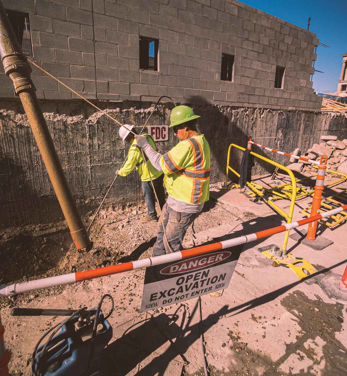
Physical exposure via hydro or air vacuum excavation to record exact 3D coordinates, size, and material.
Provides precise horizontal and vertical (depth) location with zero utility risk.
Why Choose Hydro-Excavation

How LoJac Delivers Peace of Mind Below the Surface

By integrating infrastructure detection services into your design phase, LoJac helps eliminate the surprises that disrupt schedules and stretch budgets.

Key Benefits for Your Project

  • Eliminate Costly Utility Strikes: Protecting crews, surrounding communities, and existing infrastructure from accidental line breaks.
  • Streamline Design & Engineering: Giving engineers actionable, high-accuracy CAD and GIS data during the initial design phase so utilities can be avoided rather than relocated.
  • Reduce Project Delays & Change Orders: Preventing redesigns mid-construction caused by unexpected underground conflicts.
  • Lower Insurance & Risk Costs: Demonstrating due diligence with verified ASCE-standard utility mapping.
  • Comprehensive In-House Capabilities: From non-destructive hydro-vac soft-dig fleet operations to high-precision surveying, LoJac handles the full S.U.E. workflow under one roof.

Our Infrastructure Detection Services Technologies & Services

LoJac equips expert field technicians with cutting-edge detection and surveying tools:

Ground Penetrating Radar (GPR)

Non-invasive subsurface imaging that detects both metallic and non-metallic utilities (PVC, concrete, clay pipes).

Electromagnetic Induction (EMI)

High-frequency line tracers to track metallic pipes, cables, and tracer wires across expansive job sites.

Air & Hydro Vacuum Excavation (QL-A Daylighting)

Gentle exposure of critical utilities to verify exact depth, material, condition, and diameter.

GPS & Robotic Total Station Surveying:

Geo-referencing utility locations into project-ready CADD and GIS mapping files.

Build with Confidence from the Ground Down

Whether you’re planning highway expansions, commercial developments, or municipal infrastructure updates, knowing what’s underground saves time, money, and lives. Contact the LoJac Team Today to discuss your project specifications or request a custom proposal for Subsurface Utility Engineering services.

Contact Our Team